Space Probe to Map Carbon in Tropical Forests from Orbit
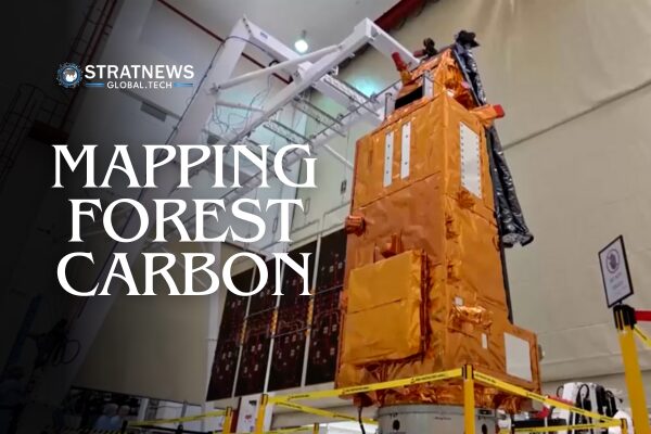
A new space biomass probe is scheduled for launch this month, aiming to orbit Earth and map the carbon content of tropical forests in some of the planet’s most remote regions. Known as the Biomass mission, it will play a vital role in understanding how much carbon these forests store and how deforestation affects climate change.
Advanced Radar Scanner to Measure Forest Carbon
Set for launch on 29 April, the European Space Agency’s Biomass probe will carry a powerful radar scanner designed to operate for several years in Earth’s orbit. This advanced instrument uses interferometry technology to measure carbon storage across tropical rainforests in Africa, Asia, and South America.
Unlike traditional optical instruments, which can only detect leaves, this radar can penetrate thick forest canopies down to the ground. This allows it to capture detailed data on tree trunks and branches, where most of the carbon is stored.
Helping Scientists Understand the Carbon Cycle
Michael Fehringer, the Biomass Project Manager at the European Space Agency (ESA), highlighted the importance of the mission. “The forest is the lung of our planet,” he said. “We want to measure how much fossil fuel combustion produces CO2, and how much of that is absorbed and held by forests.”
Tropical forests absorb about 8 billion tonnes of carbon dioxide from the atmosphere each year. However, deforestation and forest degradation are causing much of this carbon to be released back into the atmosphere. This adds to the urgency of accurately measuring how forests influence the global carbon cycle.
Data to Support Conservation and Climate Policy
The information gathered by the Biomass probe will help shape environmental strategies. According to Fehringer, the mission’s data is essential for guiding conservation efforts and shaping climate policy. “The forests are under threat. We need this data,” he told Reuters.


