Spanish Firm Develops GPS-Style Navigation System for the Moon
Spanish technology firm GMV has unveiled an innovative lunar navigation system, LUPIN, designed to make travelling on the moon as seamless as using Google Maps or Waze on Earth. The system promises to revolutionise how rovers and astronauts navigate the lunar surface.
LUPIN Aims to Simplify Lunar Exploration
LUPIN is part of a wider initiative by the European Space Agency to trial advanced positioning, navigation, and timing systems. As global interest in lunar exploration rises—driven by science, potential mining, and even future tourism—there is a growing need for precise and real-time navigation tools.
At present, navigating the moon is complex. Spacecraft rely on Earth-based calculations and delayed data transmissions. These methods lack accuracy and speed, making operations challenging and risky.
Testing in a Lunar-Like Environment
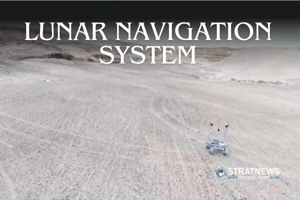
To evaluate the system, GMV tested LUPIN in Fuerteventura, one of Spain’s Canary Islands. The chosen test area resembles the moon’s terrain, offering a realistic environment for field trials.
Using satellite signals similar to GPS, LUPIN helps rovers and astronauts determine their position on the moon in real time. This capability would replace the current slow and calculation-heavy methods of lunar navigation.
Enhancing Safety and Efficiency on the Moon
LUPIN also addresses the challenge of terrain changes caused by lunar dust or impacts. These changes can hinder missions, especially when updates from Earth are delayed or incomplete. The system aims to improve both safety and mission efficiency by providing continuous, accurate updates.
The company plans to merge existing lunar maps with satellite data, focusing on difficult-to-navigate regions like the lunar south pole and the far side of the moon. These areas are typically in shadow and harder to reach, making precise navigation all the more crucial.
As space agencies and private companies push further into lunar exploration, technologies like LUPIN could become essential tools for future missions.
with inputs from Reuters


