


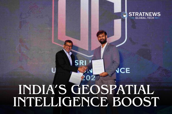
Esri India and Dhruva Space have signed a Memorandum of Understanding (MoU) to integrate high-resolution satellite imagery with advanced Geographic Information System (GIS) platforms.
The partnership brings together Esri India’s ArcGIS technology, a widely used GIS solution across sectors, with Dhruva Space’s AstraView imagery service, which sources data from a network of over 200 Earth Observation (EO) satellites. These satellites cover a wide range of sensing technologies, including optical, synthetic aperture radar (SAR), radio frequency (RF), and hyperspectral imaging.
The collaboration aims to enable real-time, high-quality satellite imagery to be used seamlessly within GIS workflows. This integration could serve as a powerful tool for sectors such as disaster response, urban planning, agriculture, and infrastructure monitoring.
How will this help India?
This development is particularly timely for India, where demand for precise, real-time spatial data is growing rapidly across both public and private sectors. The integration of space-based sensing with GIS platforms will help Indian establishments make more informed decisions in areas ranging from environmental monitoring to smart city development.
Experts suggest the partnership could help India reduce its reliance on foreign satellite imagery providers by strengthening indigenous capabilities. By combining Dhruva Space’s domestic satellite infrastructure with Esri India’s established GIS ecosystem, the MoU supports India’s broader push toward self-reliance in both space technology and geospatial intelligence, key pillars of national development and strategic autonomy.
Implication for Key Sectors
The partnership is expected to unlock new use cases for satellite imagery in day-to-day governance and long-term planning. These include:
Defence and Security: Offering improved geospatial intelligence for surveillance and strategic planning.
Disaster Management: Enhanced situational awareness during floods, earthquakes, or wildfires through near real-time imagery.
Agriculture: Monitoring crop health and soil conditions using hyperspectral and multi-spectral satellite data.
Infrastructure Development: Supporting smart city planning and land use analysis with high-resolution imagery integrated into GIS.
The collaboration is expected to shorten the decision-making cycle and improve the accuracy of interventions.
Broader Industry Momentum
The MoU was firmed up during the Esri India User Conference 2025 in Hyderabad, one of the largest gatherings of GIS professionals in the country. The timing of the partnership underscores the growing interest in blending space-based data with digital decision-making platforms to address India’s developmental and environmental challenges.
This initiative also reflects a broader trend: the convergence of India’s space and geospatial industries.
While technical implementation will be a multi-phase process, the agreement signals a shift toward building scalable, indigenous solutions that serve both commercial and public interests.